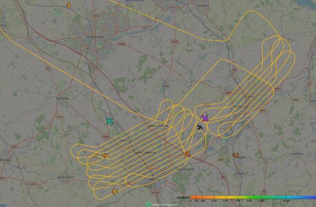
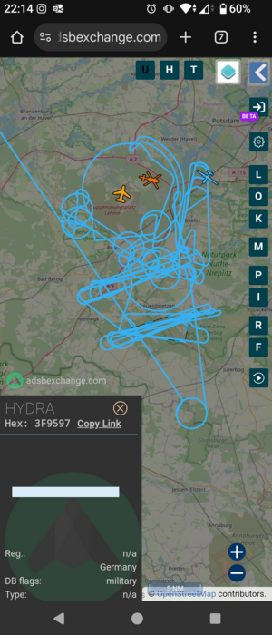
This is a Beech 200 Super KingAir, owned by RVL Aviation since 2018. They provide (among other things) contracted ground survey services with oblique/side-scanning imaging.
It's this kind of plane that fed data to the likes of Google for their 3-D views in Maps, allowing you to see detail of buildings and terrain from various angles.
Anyway, it looks like they were updating in my area today, though I don't know who they were contracting for specifically...

It's this kind of plane that fed data to the likes of Google for their 3-D views in Maps, allowing you to see detail of buildings and terrain from various angles.
Anyway, it looks like they were updating in my area today, though I don't know who they were contracting for specifically...


